
Google’s mapping products are getting a clear enterprise tilt with a suite of new generative AI features announced at Cloud Next. Rather than small consumer-facing tweaks, these updates add capabilities for visualizing hypothetical scenes, accelerating satellite and aerial imagery analysis, and delivering pre-trained geospatial models that can identify infrastructure elements. For organizations that rely on maps and imagery—urban planners, construction firms, emergency responders and large enterprises—these changes promise faster workflows and new ways to prototype and analyze sites.
What Google announced at Cloud Next
Google introduced several features that weave generative AI into its Maps and Earth offerings. The announcements center on three areas: imagery grounding inside Street View, analytics for aerial and satellite imagery integrated with BigQuery, and new Earth AI Imagery models trained to detect objects in imagery. Collectively, the updates are aimed at cutting the time and technical lift required to go from raw geospatial data to actionable insights.
Maps Imagery Grounding: reimagining Street View
One headline feature, Maps Imagery Grounding, lets enterprise users generate realistic scenes inside Street View. Users enter prompts through the Gemini Enterprise Agent Platform and, assuming the right settings are enabled within Google Maps Imagery, the system synthesizes plausible visualizations of a location—useful for storyboarding film sets, visualizing construction plans, or previewing changes to streetscapes. Google also notes integration with Veo to animate those generated scenes. The emphasis is on rapid prototyping: in seconds a team can see a visual mock-up of a concept without having to build a physical model or run a complex visualization pipeline.
Aerial and Satellite Insights: turning weeks into minutes
For organizations that store imagery in Google Cloud’s BigQuery, Google is adding a feature called Aerial and Satellite Insights. This capability layers analytics atop stored imagery, allowing users to run analyses that previously required extensive manual effort. Google frames the impact starkly: tasks that once took weeks of work can now be reduced to minutes. That acceleration matters for recurring monitoring needs—such as environmental change detection, infrastructure inspection, or disaster response—where time-to-insight can change the outcome of a decision.
Earth AI Imagery models: pre-trained geospatial intelligence
To lower the barrier for custom geospatial AI, Google is shipping two new Earth AI Imagery models that are trained to recognize objects like bridges, roads and power lines. Historically, companies had to build and train their own detection models—a process that can take months of data collection and model tuning. By offering pre-trained models, Google intends to give businesses a faster path to embedding object detection into their workflows and products without starting from scratch.
Who stands to benefit
The announcements are squarely aimed at enterprise customers and partners already invested in Google Cloud’s storage and analytics stack. Potential beneficiaries include urban planners conducting scenario analysis, utilities monitoring linear infrastructure, NGOs and governments performing environmental or disaster assessments, and media or entertainment teams that need quick visual mockups for shoots. Google’s existing Earth AI collaborations—with partners like Airbus and Boston Children’s Hospital—illustrate a range of practical applications from environmental monitoring to public-health adjacent use cases.
Questions and considerations
While the features promise efficiency gains, there are predictable questions around accuracy, provenance and ethics. Synthetic Street View scenes are useful for visualization but should not be mistaken for factual observations; teams will need processes to distinguish generated imagery from real-world captures. For analytical features, model performance on diverse geographies and edge cases will determine real-world utility—organizations should validate outputs against ground truth before operationalizing decisions. Finally, enterprise adoption will depend on pricing, data governance, and how well these tools integrate with existing workflows.
A pragmatic step forward
Google’s push consolidates several trends: the move to provide verticalized, pre-trained models and the integration of generative and analytic AI into tooling enterprises already use. By folding these capabilities into Maps, Earth, BigQuery and Gemini Enterprise, Google is offering an end-to-end toolkit for geospatial problems—one that favors organizations with cloud-centric data architectures. For teams that need faster visualization and imagery analysis, these updates could significantly shorten timelines and lower technical overhead.

Microsoft Extends Windows 10 Extended Security Updates Through October 2027
Microsoft has quietly extended its consumer Extended Security Updates (ESU) program for…

How Compute Became the Real Prize: Anthropic, SpaceX, and the Musk–Altman Showdown
The story this week looked less like another round in the model…
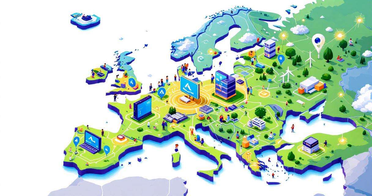
Scaling Cloud and AI: How Microsoft Azure Is Powering Europe’s Digital Future
Cloud and AI demand in Europe is surging, and Microsoft Azure is…

Copy Fail (CVE-2026-31431): A 4‑Byte Kernel Bug That Lets Attackers Gain Root on Major Linux Distros
Microsoft Defender Security Research recently disclosed CVE-2026-31431—nicknamed “Copy Fail”—a high‑severity local privilege…